

(main menu)
CAMPBELL
articles
SITEMAP
site is
ABOUT
NEW

|
|
(main menu) |
CAMPBELL articles |
|
SITEMAP |
site is ABOUT |
NEW |
|
Where it was possible to find equivalent scans on the web for the maps illustrated in the various Map Collector articles those have been linked to. The following selection represents the remainder. They are, inevitably, at a relatively low resolution, but can serve a similar function to a thumbnail. If you find a scan on the web please let the editor know, so that he can add a link to it.
1557. Siege plan of St Quentin
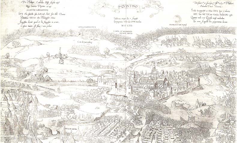
The earliest chronogram found depicts the siege and battle of Saint Quentin in 1557 [that was written in 1988; note that a map chronogram of 1552 is now known]
For a clearer image see George III's Military Map Collection
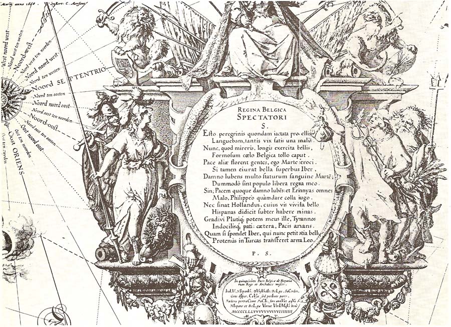
1608. Netherlands. 'Nieuwe ende waarachtighe beschrijvinghe der zeventien Nederlanden...' (Amsterdam: Blaeu, 1622). The chronogram gives evidence of a 1608 version although the surviving map is dated 1622.
1623. Picart, Carolingian Empire
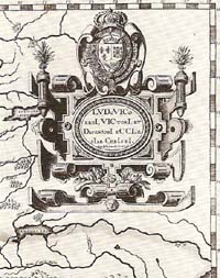 | Untitled, four-sheet map of the Carolingian Empire, engraved by Jean Picart in Paris, 1623.
|
 | The chronogram (middle left) reads 'Me DeCet Corona SeXtI' (1711)
|
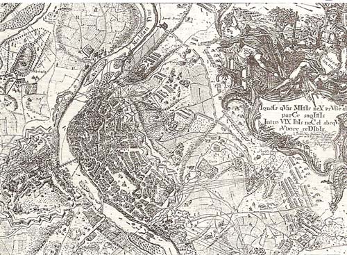 |
Plan of Prague, drawn by surveyor J.N. Breÿer, engraved by I. Saltzer in Prague
|